Backing Up Your Navigation Offline
Published How we research
The best car camping spots tend to be exactly where your phone loses signal, which creates a problem that catches many people off guard: the navigation app that got them most of the way there goes blank at the moment they need it most. Relying on a live data connection for directions in remote country is a recipe for getting lost, so building an offline navigation backup is one of the most practical skills a car camper can develop.
Products from this article
The highest-scoring picks from the buying guides this article links to. Scores are our editorial assessment, not customer ratings.
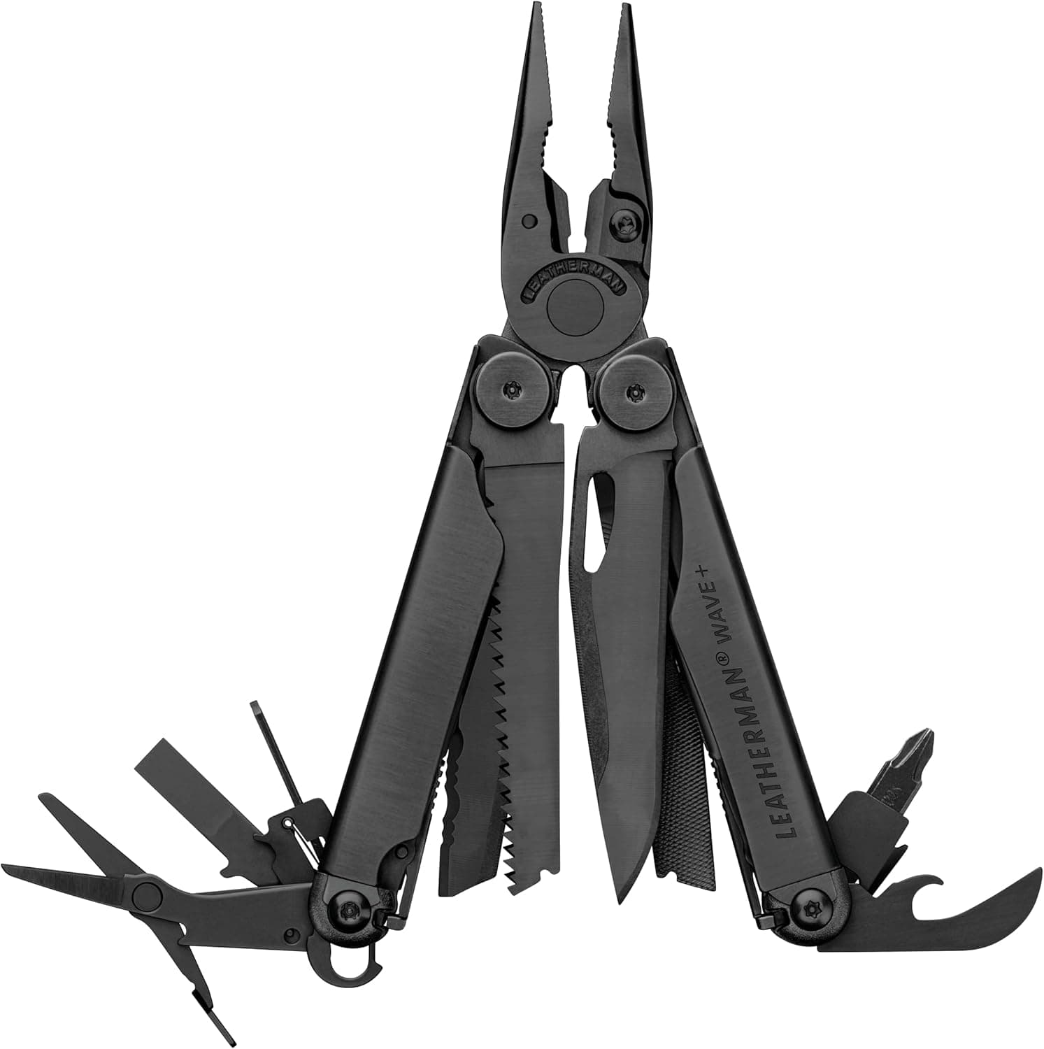
+ 18 tools cover pliers, blades, drivers and files for most camp fixes
From our guide: Best Camping Multi-Tools
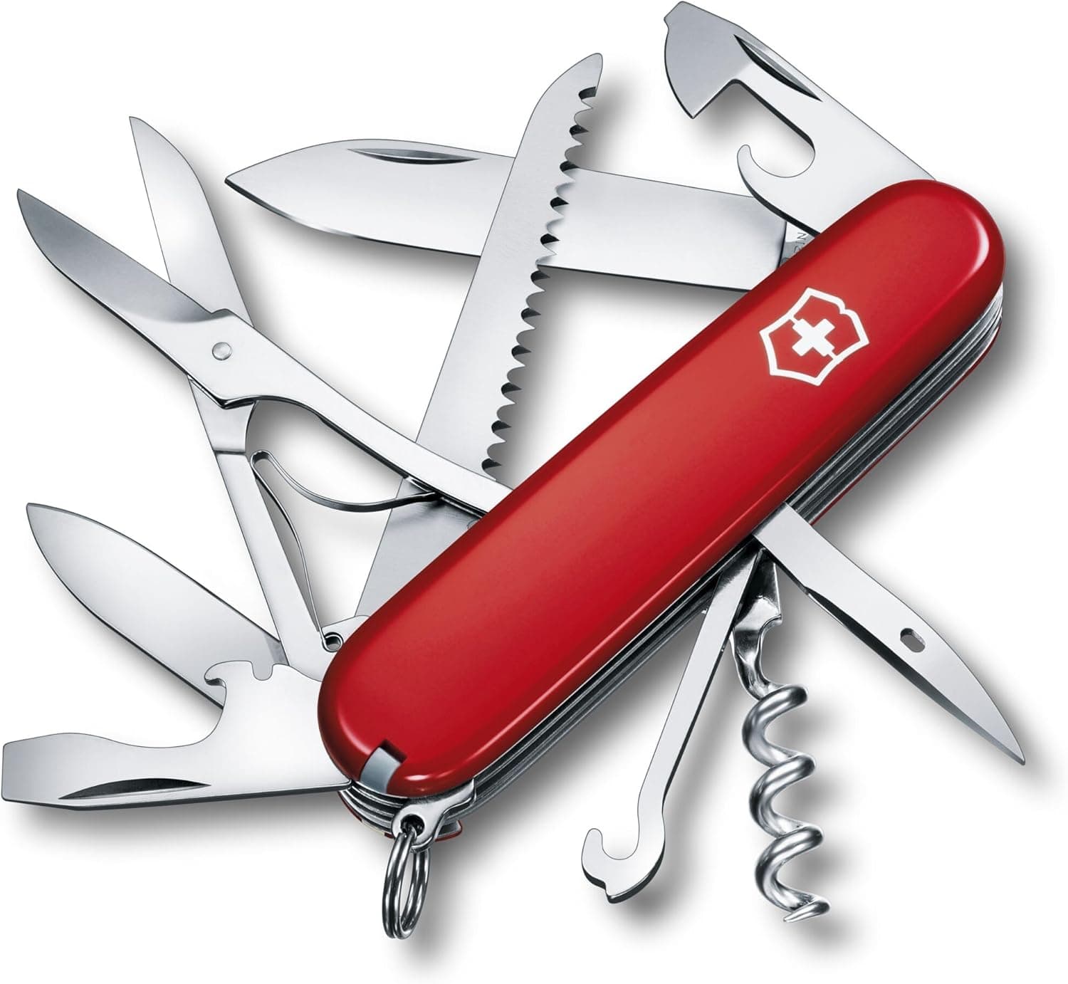
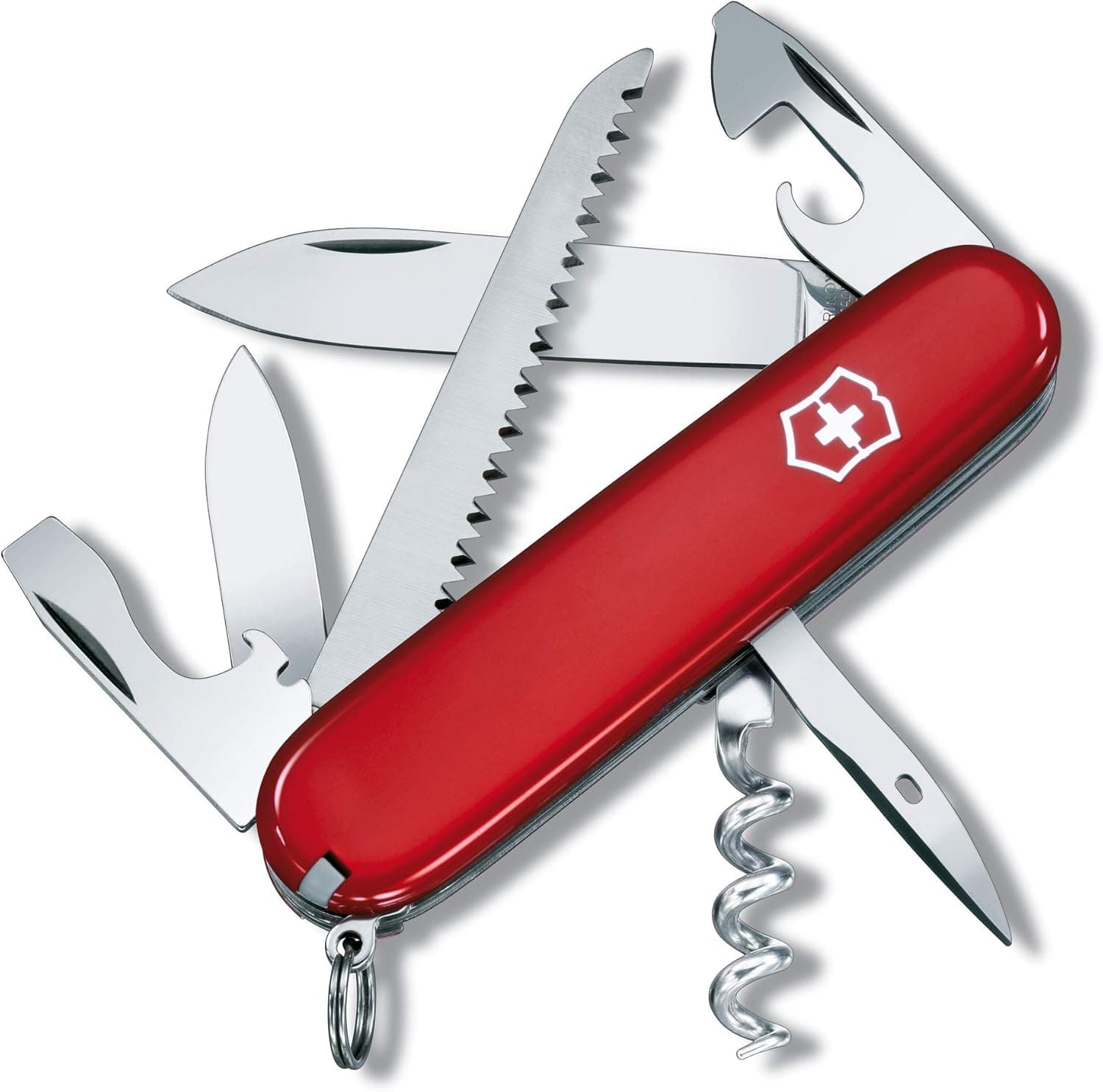
+ 15 functions include a saw, scissors and can opener for camp use
From our guide: Best Camping Multi-Tools
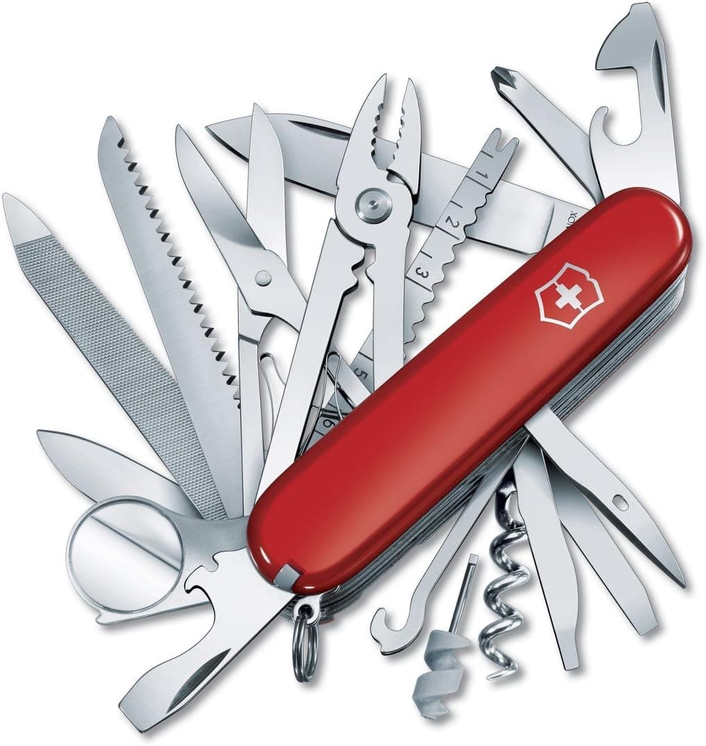
+ 33 functions include pliers, magnifier and multiple blades
From our guide: Best Camping Multi-Tools
+ Wood saw handles small branches and kindling prep
From our guide: Best Camping Multi-Tools

Offline maps are the first line of defense and they are easier to set up than most people realize. Major mapping apps let you download map regions in advance while you still have signal, storing the roads, terrain, and points of interest on your device so they work with no connection at all. The key is to do this before you leave home or before you lose coverage, since you cannot download a map once the signal is gone. Download a generous area around your destination, not just a narrow route, so you have options if you need to reroute.
Understanding how your phone's GPS works removes a common misconception. The GPS chip in your phone determines your location from satellites independently of any cell signal, so even with no bars, your phone can still show where you are on a downloaded offline map. This means a phone in airplane mode with offline maps loaded is a fully functional navigation device, and airplane mode has the bonus of saving battery, which is precious when you cannot easily recharge. Practice using your maps offline before the trip so you are not learning the interface in the field.
Dedicated navigation apps built for the outdoors go beyond street maps and are worth having for backcountry travel. Apps designed for off-road and trail use offer topographic maps, public land boundaries, forest service roads, and trail data that standard navigation apps lack, and they are built around offline use. Knowing which roads are legal, where public land ends, and how rough a track is becomes crucial once you leave the pavement, and these tools provide exactly that detail.
Paper maps remain the ultimate backup because they never run out of battery, never crash, and never depend on a satellite lock. A good paper map or atlas of the region gives you a fallback that works in any condition, and the large-scale overview it provides helps you understand the landscape in a way a small phone screen cannot. Learning to read a paper map and orient yourself with a compass is an old skill that still saves people, and it costs nothing to carry the map as insurance.
Protecting your electronic navigation means protecting your power and your device. Keep your phone charged from a power station or car charger, carry a backup battery, and keep the device from getting too cold, since cold drains batteries fast and can shut a phone down. A car mount keeps the map visible and the phone charging while you drive, and downloading maps and marking your intended spots in advance means you are never dependent on a connection you might not have.
Finally, tell someone your plan and leave a copy of your route. Even the best navigation setup can fail, and letting a friend or family member know where you are headed and when you expect to return means that if something goes wrong, someone knows where to look. In truly remote areas beyond any cell coverage, a satellite messenger or personal locator beacon adds a genuine safety net. With offline maps downloaded, a topographic app installed, a paper map in the glovebox, and your battery managed, you can venture confidently into the places without signal that make car camping worth doing.
Popular right now
- Fall Car Camping: How to Plan and What to PackArticle
- Keeping Cool When Camping in Hot WeatherArticle
- Best Portable Camping Sinks for Car CampingBuying guide
- Tailgate tent explainedGlossary
- Safety Tips for Sleeping in Your CarArticle
- Best Camping Cookware SetsBuying guide
Based on the last 28 days of search and visitor data.